|
22th Annual International Geology Field Camp on the North Anatolian Fault
Western T ürkiye
Geology 410 Field Geology - Six semester credits June 1 - July 3, 2026
Application : May 30, 2026
|
|
 Location: Taskesti town (picture above) located on North Anatolian Fault Zone (NAFZ) in Abant Valley, approximately 200 km east of Istanbul. Facilities: Lodging includes three weeks at the Taskesti field research station of the Turkish Disaster and Emergency Management Authority (Earthquake Research Department), with ten 2-3 person rooms, each with bathroom and shower, a large conference room, kitchen, laundry facilities and dining hall. An experienced cook will provide meals. The research facility at Taskesti has been occupied by international scientists for more than twenty years. The locals are very much accustomed to tourists. Nearby Lake Abant and Kartalkaya Resort (30 miles to Taskesti) are premium winter sports center and summer getaway for many Turks and Europeans. One week will be spent at the Cayirhan area, and one week in Sivrihisar area.Course Content : The course includes preparation of stratigraphic columns, structural cross sections, and geologic maps, and completion of formal reports. Successive projects involve greater geologic complexity, and some may emphasize geologic hazard or mineral resource assessment. Practical applications to environment-related problems, earthquake hazards, landslides, and hydrogeology may be included. Physical Demands: Field work will involve working in rugged and steep terrain. Some projects may include demanding hikes of considerable length and elevation gain. Students are expected to be physically and mentally prepared to work in these conditions. Field Equipment: Geologic rock hammer and hammer holder, Hand lens (10x), Mechanical and colored pencils (#2 lead (or harder) and variety of colors), (2) Pilot extra fine (0.5) black RT pens, Field notebook(s), Daypack and/or field vest for carrying field supplies, H2O bottles, Clip/map board, Protractor and straight edge, Pocket knife (good for a lot of things as well as a scratch test tool), Grain-size chart, Dilute HCl (provided), Safety glasses, Calculator, Good quality digital camera (with downloading capabilities), Laptop computer, Sunscreen, Lip balm, Sunglasses Field clothing: Sturdy hiking boots (mandatory),Rain jacket, Fleece jacket (idea is to dress in thin, light, and breathable layers that can be added or subtracted according to conditions), Light-weight leather work gloves, Field hat (full brim), Swimsuit (for Black Sea). COURSE REQUIREMENTS AND COSTS
Application and deposit of US$300 online. Note: BHNSFS reserves the right to cancel the camp if the minimum enrollment is not reached. The full deposit will be refunded in this case, and applicants will be notified by email by March 1, 2025
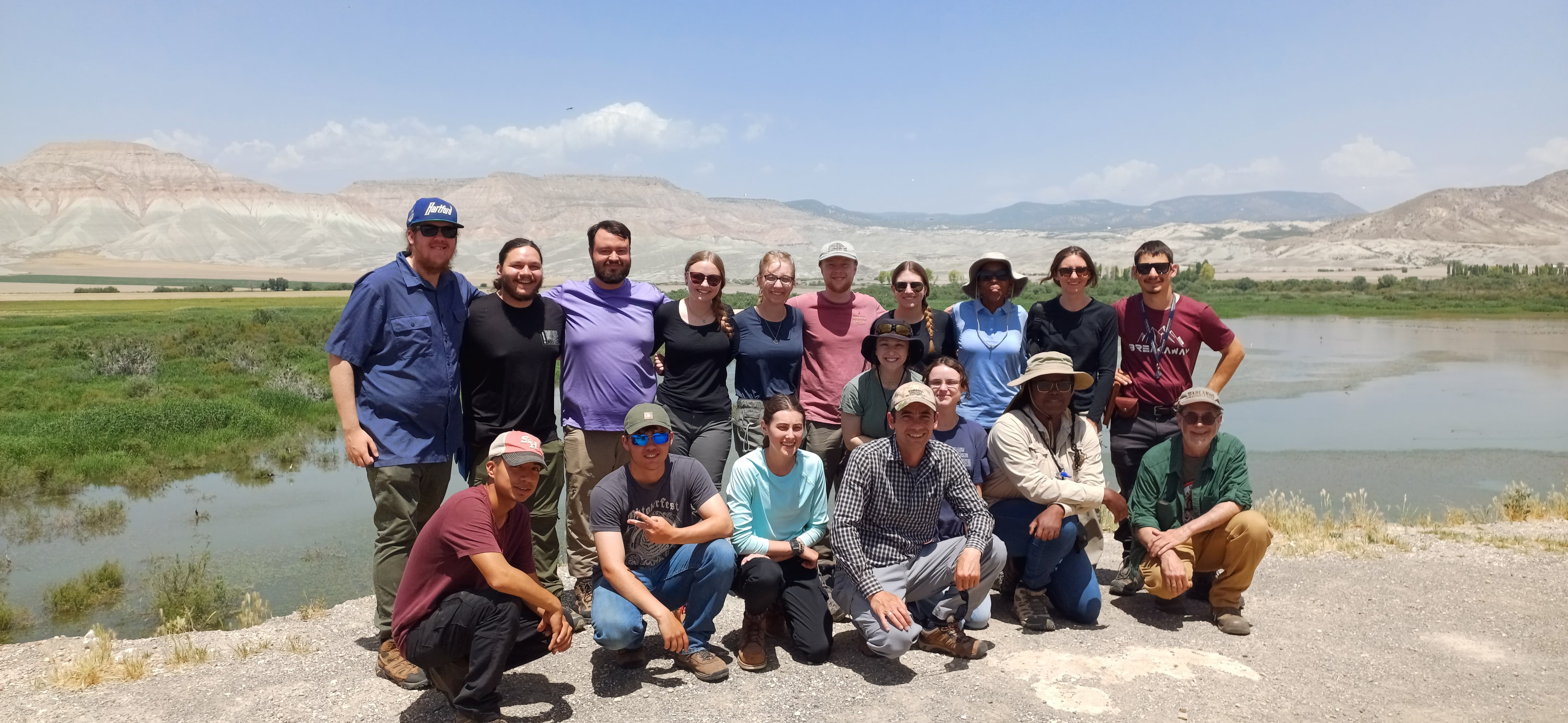
Group photo 2024 - Nallihan project area
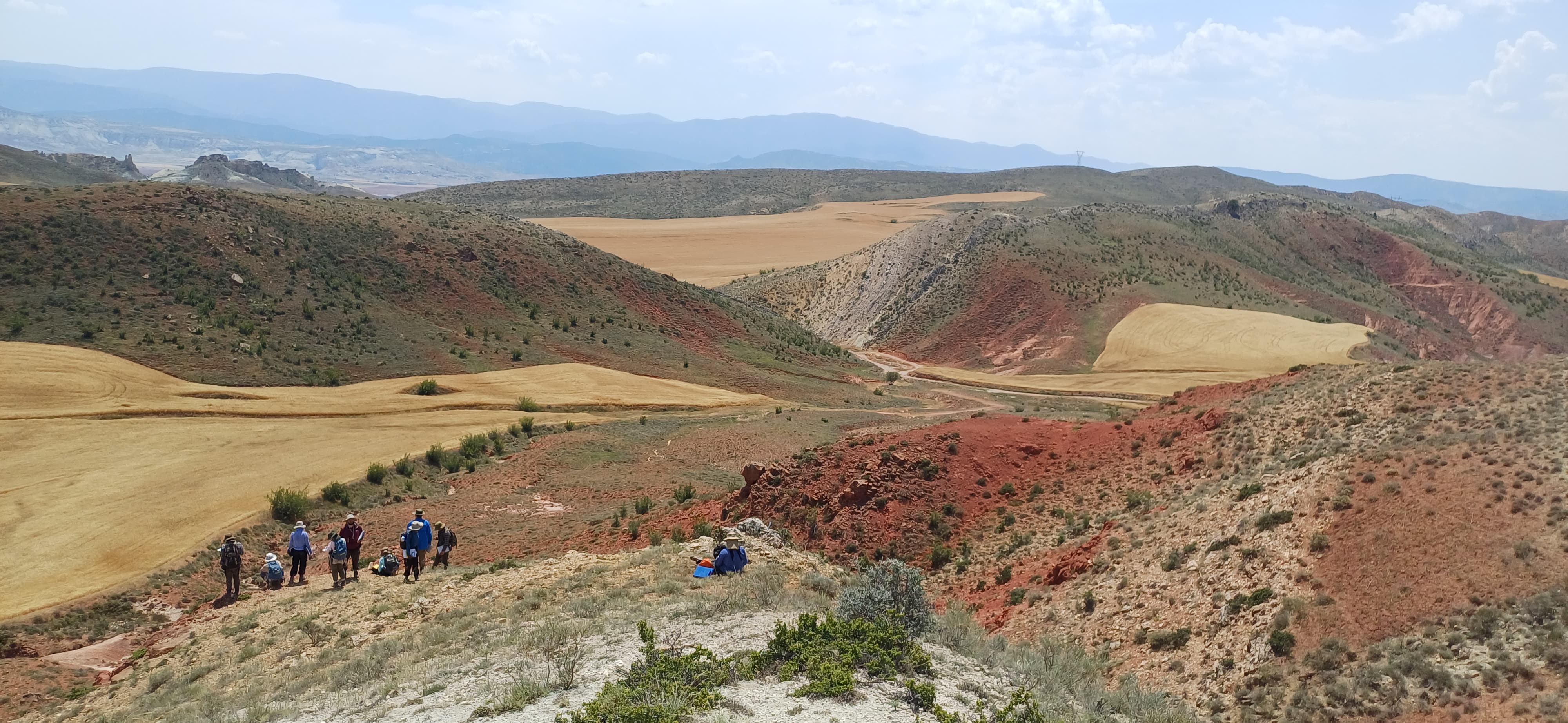
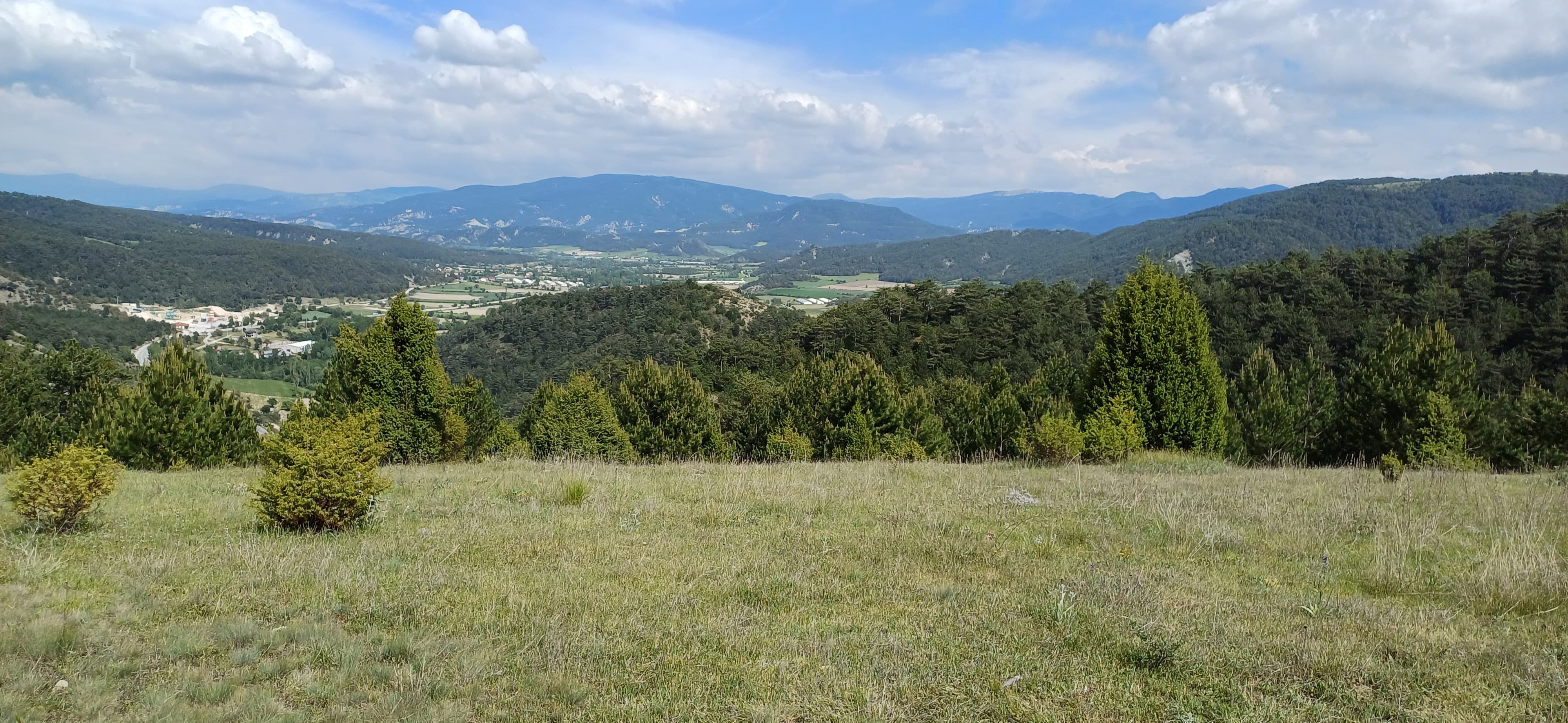
Nallihan mapping project
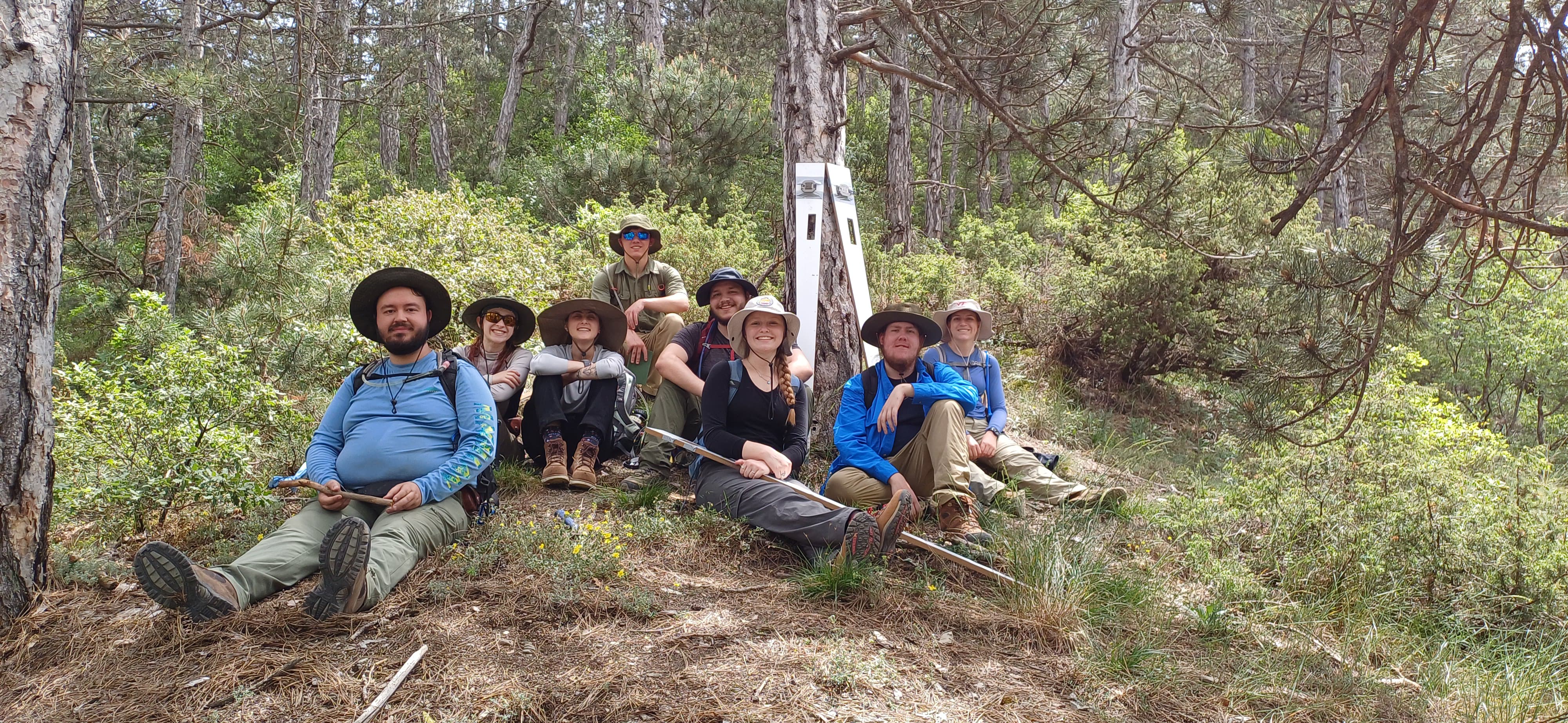
Section measurement near Taskesti
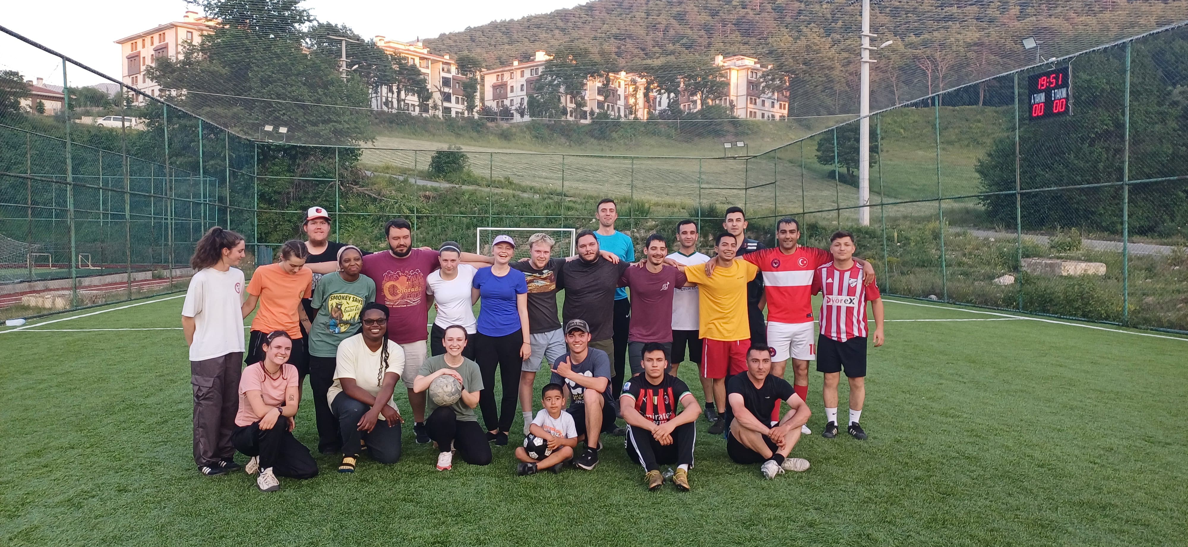
Group photo with local soccer players For more information contact: Dr. Umit Yildiz, Camp Coordinator
or
Dr. Nuri Uzunlar, Director Black Hills Natural Sciences Field Station South Dakota Mines
email: nuri.uzunlar@sdsmt.edu Phone: (605) 431-1275 |